A practical field handbook by Cal Mercer
Know Your Way Out
Map three real exits before the road fills, closes, or fails.
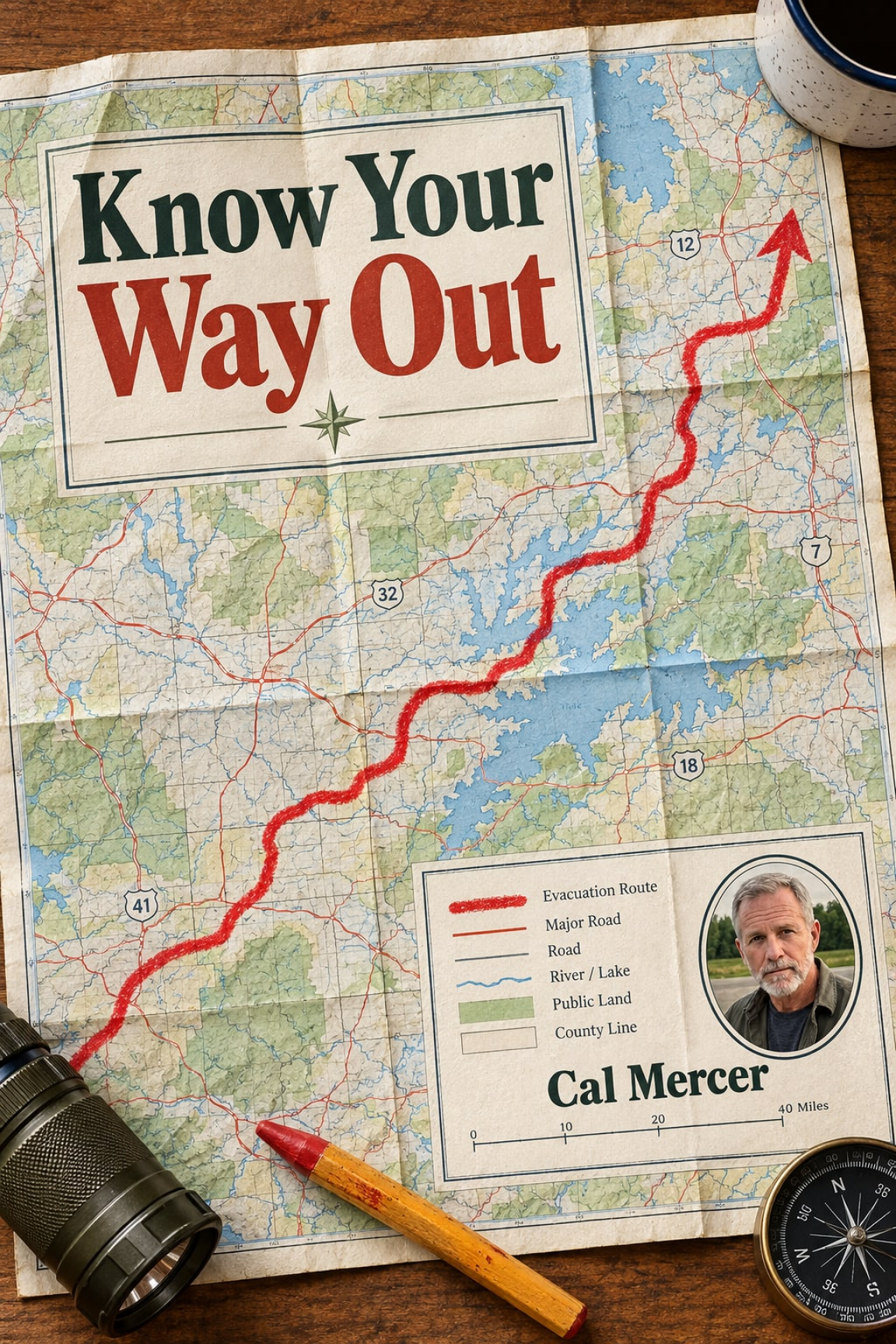
01What is inside
A route plan you can inspect from the driver’s seat
The book turns a familiar road out of town into a tested set of choices. Each lesson ends at the practical level: a map mark, a field check, a route card, or a household decision.
- Build three meaningfully different exits rather than three road names that depend on the same bridge, interchange, or canyon mouth.
- Choose a primary, lateral, and low-capacity route with a clear role for each one instead of treating every road as interchangeable.
- Draw a five-mile departure ring and find the school zones, signals, rail crossings, tight turns, and commercial entrances that can stop every longer plan.
- Trace shared dependencies backward until you know whether your alternatives cross different barriers or merely look different on the map.
- Read nine useful map symbols and patterns that reveal road class, access limits, grades, water crossings, tunnels, rail lines, and public-land boundaries.
- Judge less obvious roads without romanticizing them by checking width, shoulders, gates, surface, turnarounds, grades, and opposing traffic.
- Conduct a calm daylight reconnaissance drive and record mileage, decision points, restrictions, service gaps, safe pull-offs, and difficult corrections.
- Create a route card that still works under pressure when a phone loses service, signs are obscured, or attention is divided.
- Assess fourteen facilities and local systems that may retain some capability during an outage while remembering that capability does not mean public access.
- Calculate fuel with detours and idling included and adopt a reserve appropriate to your vehicle, home, and local rules.
- Compare seventy-two-hour plans for three living situations: an apartment, a suburban home, and a rural road.
- Read wildfire terrain more carefully by recognizing six dangerous shelter locations while keeping official instructions ahead of personal judgment.
Use it on a device or print a working copy for the kitchen table and vehicle.
02The problem
One remembered road is not yet an evacuation plan
Most people can point toward the road they normally use to leave town. Fewer can say what would make that road unusable, where its first serious bottleneck lies, or whether the apparent alternative depends on the same piece of infrastructure.
The weakness often appears close to home. A route may look open for forty miles, yet all forty miles depend on clearing one signal sequence, one school-zone turn, one rail crossing, or one narrow commercial entrance during the first five.
Another route may begin on a different street but merge at the same bridge. A third may cross the same creek through the same underpass. On a screen, these are three colored lines. On the ground, they are one failure expressed three ways.
The important question is not, “Do I know another road?” It is, “What does that road depend on?” Cal Mercer
Departure conditions also alter roads that work perfectly well on an ordinary day. Signals collect traffic. Navigation apps direct many drivers toward the same obvious corridor. Fuel stations develop queues or lose payment and pumping capability. A low-capacity road may become difficult when opposing vehicles meet without shoulders or turnarounds.
That is why the book separates route planning into three tests:
- Independence: Does the route cross a different barrier or avoid the barrier entirely?
- Capacity: Can the road carry the likely traffic, turns, grades, and opposing movement?
- Destination: Does it lead toward somewhere realistic rather than merely away from home?

Familiarity compared with a tested route set
| Question | One familiar route | Three tested routes |
|---|---|---|
| Shared chokepoints | Usually unexamined | Traced and marked on the map |
| First five miles | Assumed to be routine | Checked for signals, crossings, turns, and merges |
| Public access | Inferred from the map | Verified during a daylight drive |
| Fuel margin | Based on normal mileage | Includes detours, delay, and idling |
| Phone failure | Leaves few instructions | Route cards preserve decision points |
This is not an argument for ignoring official routes or instructions. It is an argument for understanding your local road system before urgency removes the time needed to study it.
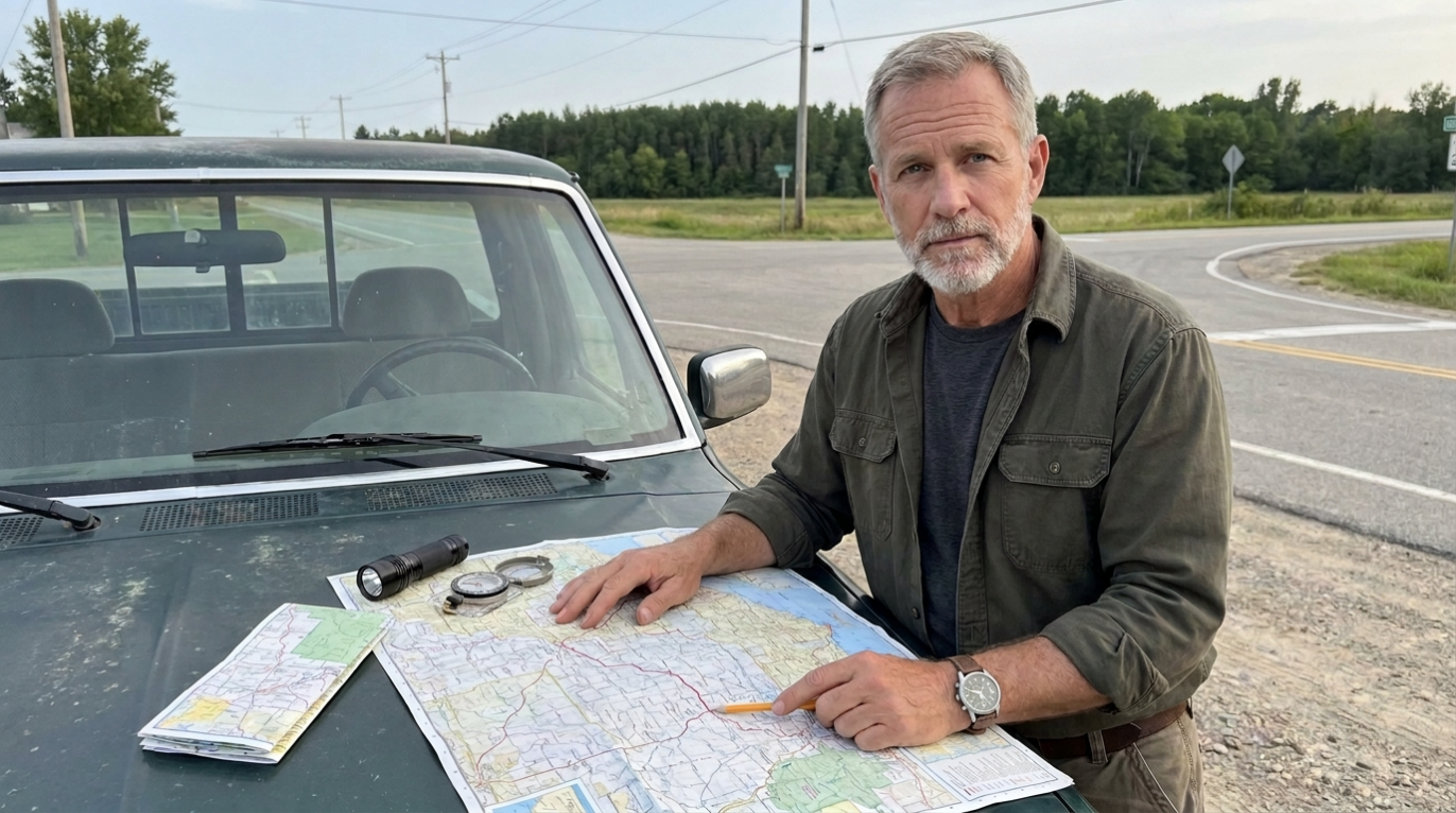
03The author
“I wrote down the road-level questions I wanted beside me.”
I am Cal Mercer. I wrote this handbook for people who want to make a careful household plan without pretending they can predict every emergency.
My approach is deliberately ordinary: open the map, identify the first points of failure, drive the routes in daylight, record what the screen does not tell you, and return later to see what changed.
I do not believe a route becomes safe because it is obscure, scenic, or marked as an alternative by an app. Roads have widths, grades, gates, seasonal limits, bridges, traffic patterns, and consequences when a turn goes wrong. Those details deserve calm attention before they become urgent.
This book is the resulting field method. It is written for apartment residents, suburban households, and rural drivers who need practical questions rather than dramatic promises.
— Cal Mercer
04Interior page previews
A working handbook, not a collection of slogans
The 81-page edition combines direct instruction with civic-atlas figures, map-reading lessons, route checks, and household planning prompts.
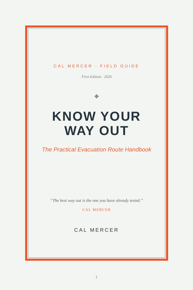
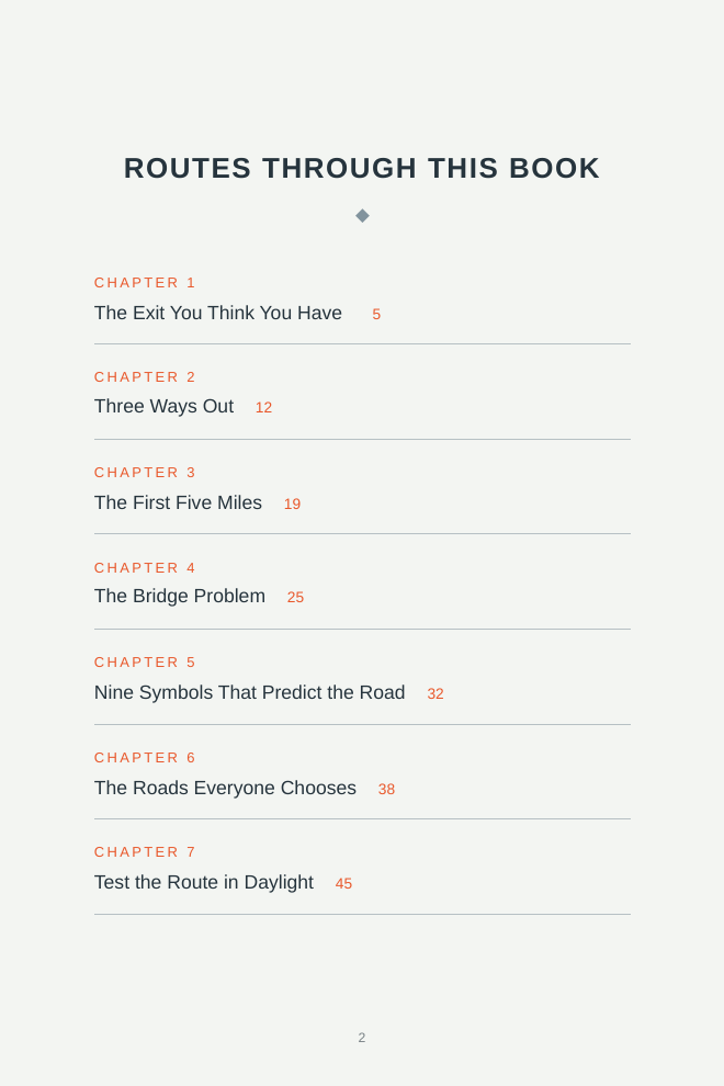
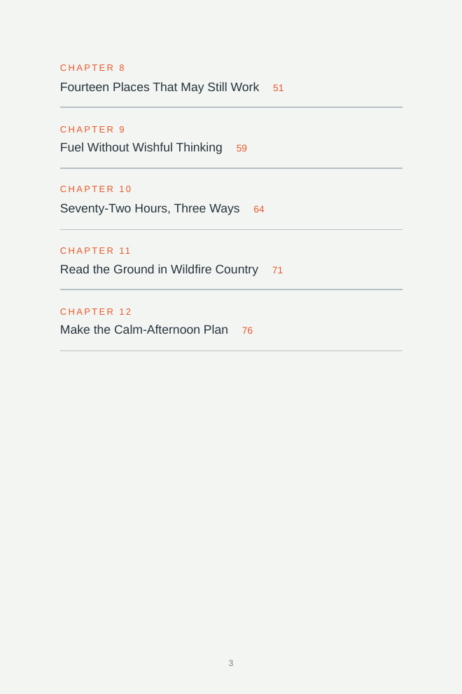
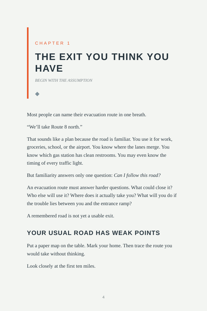
All 12 chapters and 10 field figures are included.
05Introducing the book
A calm-afternoon method for a difficult-day decision
Know Your Way Out is a practical evacuation route handbook built around one manageable task: replace a single familiar assumption with three routes you have inspected for independence, capacity, access, and destination.
The book begins with the road most people already know. It then narrows the work to the first five miles, where several longer routes may share the same signals, crossings, bridges, turns, and interchanges.
From there, it teaches enough map reading to ask better questions, shows how to test a route without pressure, and widens the plan to include fuel, seventy-two-hour needs, functioning local systems, communications, and wildfire terrain.
- What it is An 81-page first-edition PDF with 12 practical chapters and 10 field figures.
- Why it exists Because three lines on a map may still fail at the same bridge, crossing, interchange, or narrow turn.
- How it is used Read a section, mark your map, drive in daylight, record what you find, and retest the plan each year.
- Who it is for Apartment residents, suburban households, and rural drivers who want a more deliberate departure plan.
- What it does not claim It does not promise a perfect route, defeat every hazard, or replace current alerts, official orders, or local judgment.
The final chapter turns the material into a repeatable household practice: draw the routes, mark shared chokepoints, choose destination directions, assign communication rules, set fuel and supply triggers, and schedule a compact annual drill.
06The offer
Know Your Way Out
The Practical Evacuation Route Handbook by Cal Mercer
$16.99
- 81-page PDF delivered with instant access.
- 12 practical chapters covering route design, daylight testing, fuel, shelter, household margins, and wildfire terrain.
- 10 field figures supporting the route, symbol, chokepoint, and terrain lessons.
- Printable format for a working kitchen-table or vehicle copy.
- 7-day refund period so you can review the handbook for yourself.
- Free lifetime updates to future updates of this edition.
First Edition · 2026 · English-language PDF
07Seven-day review period
Read it, inspect the method, and decide with the book in hand
Your purchase includes a 7-day refund period. Download the PDF, read the route method, and see whether its field checks are useful for your household. If it is not what you expected, request a refund within that period.
The guarantee concerns the purchase, not the outcome of an emergency. No handbook can promise open roads, safe passage, available fuel, accessible facilities, or predictable conditions.
08Questions before you buy
Six plain answers
Is this book only for wildfire evacuations?
No. The route method applies wherever roads may fill, close, lose capacity, or become unreliable. Wildfire terrain receives its own chapter because slope, vegetation, road geometry, wind exposure, and dead ends require particular care. Official evacuation instructions always come first.
Do I need special maps or technical training?
No. You can begin with an ordinary paper map or digital map. The book explains nine relevant symbols and patterns, then connects each one to a practical question about access, speed, grade, turning options, alternate crossings, or closure risk.
What if I live in an apartment or do not store extra fuel?
The book does not assume that every reader has a garage, acreage, or permission to store fuel. It includes a seventy-two-hour comparison for an apartment, suburban home, and rural road. Fuel guidance begins with the half-tank habit and asks readers to choose only lawful, safe, situation-appropriate reserves.
Does the book tell me which local road to take?
No. A general handbook cannot know current conditions on your local roads. It gives you a method for identifying and testing your own routes. Current alerts, official orders, road information, weather, closures, and instructions from local authorities remain essential.
Why not rely on a navigation app when I need to leave?
Navigation apps are useful, but they may direct many people toward the same obvious road. They can also lose service, omit a gate or seasonal restriction, and show alternative lines that share one hidden chokepoint. The book helps you use digital tools without making them your only layer of planning.
Can I print the PDF and do updates cost extra?
Yes, you may print a working copy for personal route planning. The purchase also includes free lifetime updates to future updates of this edition. The PDF can be kept on a phone, tablet, or computer as well.
09The next calm afternoon
Find the bridge before the bridge becomes the problem
You do not need to predict the exact emergency. You need to know where your routes join, what can stop them close to home, which alternatives are genuinely separate, and what margin your household can maintain.
Open the map. Draw three routes. Mark the shared points. Then drive them while there is still time to turn around, take notes, and revise the plan.
Instant PDF access with a 7-day refund period and free lifetime updates.